Monday dawned cool and cloudy so I set off on a trek that the brochure suggested one should allow 6 hours. The first stage follows the beach from Paihai to Opua. The map kindly provided by the tourist office describes the 6 sections, the approximate time for each and a reasonably easy to follow map.
So with a relaxed and confident stride I set out for the start, clearly marked at the intersection of Seaview Drive and the headland. I rounded the headland to be met by water! Not just surf gently lapping sand, but 2 metres of Pacific Ocean crashing against rocky cliffs. Dumbfounded, I retraced my steps and spent the next 45 minutes trying to fathom out where I had got it wrong! Having climbed a mountain lookout then followed the main road for a kilometre, I resorted to plan B when light rain began to fall. I would do it in reverse! There was no way that I could stuff this up as Stage 1 in reverse involved catching the ferry from Paihai to Russell. Going by past travelling stories, I understand that you may jump to the conclusion that even this would lead to my undoing. Reassuringly it was impossible as all ferries lead to Russell.
Russell was the original capital of New Zealand- a cesspool of bawdy bars and brothels, that drove the local clergy to despair. It was the centre of the whaling industry in the 1860’s. Whalers being whalers, Russell’s most famous brothel was “The Hump Back Whaler”, whilst sailors being sailors, frequented “The Pinkie Minkie Whaler”.
Nevertheless it is a delightful village with grand mansions and homesteads built of weatherboard and all freshly painted in gloss white. It’s quite subtropical. It has the oldest established church in New Zealand.
The trail follows the coastline and the numerous small bays and coves with an extensive series of board walks through the coastal mangove swamps, to finally ascend then descend into Okiato Bay . One catches a quaint vehicular ferry the few hundred metres to Opua. From here the final leg follows the shoreline mostly with a few steep climbs and descents over headlands. Having set out around 9.30 am, I rounded the last cove around 4 pm to a long rocky beach – the tide was out! Gone was the crashing 2 metre surf and I could gaily crunch my way back over rocks around the bay into Paihai without drowning or the need to walk on water.
Surely a small boxed explanation on the walking map near the start would save the average disorientated Australian tourist much angst. “When the tide is in, the walk is out”.
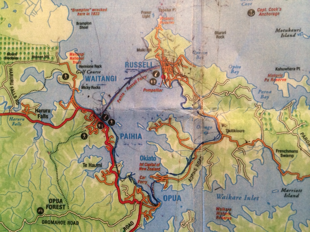
The Map
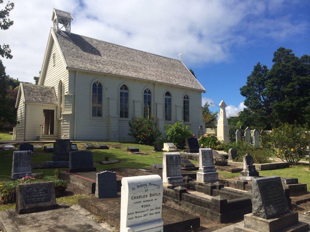
Christchurch at Russell
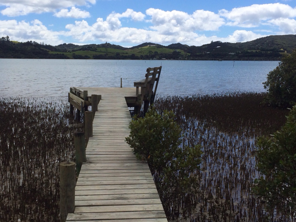
Part of the boardwalk
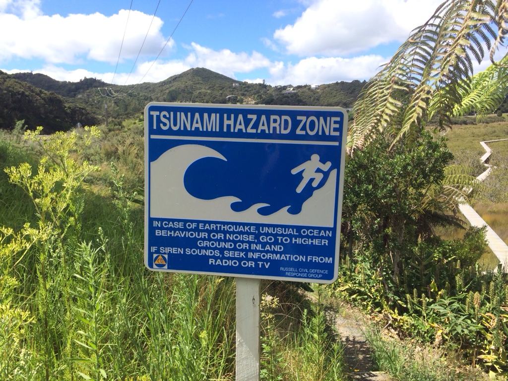
Sign at start of boardwalk.

The village of Opua
